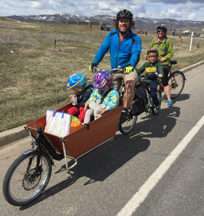
Each municipality and the county maintain over 100 miles of paved trails within the region. Some of the more popular trails include the Murdock Canal Trail, the Provo River Parkway Trail, and the College Connector Trail. The plan is to create a backbone of regional trails that traverse the county and connect into Salt Lake and Wasatch counties. The paved trail network in Utah Valley has been valued and been a growing recreation and transportation option for many years. in 2020, usage levels have shot up drastically in relation to previous years. We believe this is a direct result of the "Stay Safe, Stay Home" and social distancing measures in place during the pandemic, as residents are seeking safer ways to stay healthy.
Popular Regional Trails
Murdock Canal TrailWasatch Loop TrailsTrail Tools for Planners
Wayfinding SignsActive Transportation TypologiesProject PrioritiesTrail Counts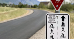

Active Transportation Staff

Calvin Clark
TIP Projects Manager
801-229-3848
cclark@mountainland.org